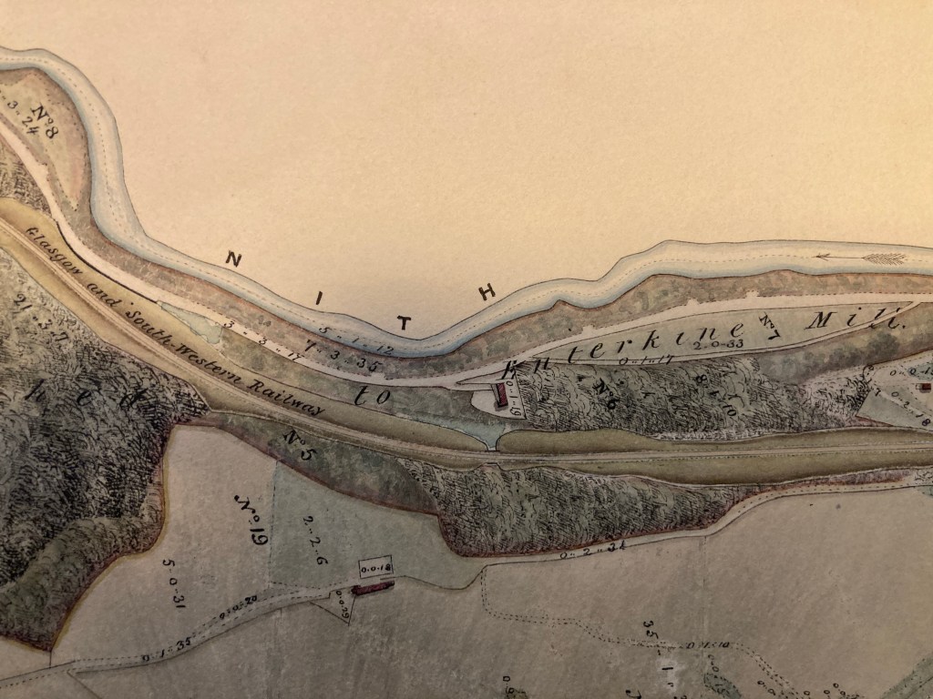
Why are rivers on maps coloured blue, with their boundaries marked in neat black lines? The River Nith is not blue. It’s murky brown, steely grey, and foaming white. While it has been managed and altered for human purposes, it’s not a tidy, contained body of water. It oozes and seeps, floods, and changes course. Its water holds particles of peat, silt, and other organic matter. The Nith feeds from dozens of other rivers, burns, cleuchs and gutters. It’s part of a watery network which, on maps, looks like the veins and arteries of a living being.
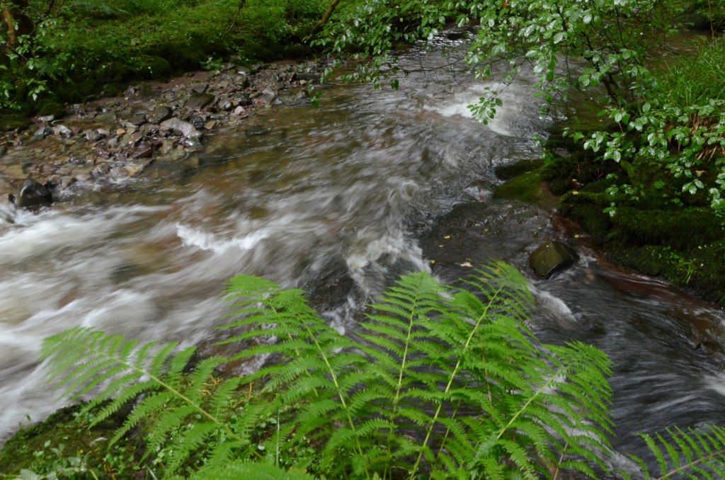
For Nithraid River Festival 2026 we are making a lively ‘map’ of the River Nith and its catchment area. The map celebrates the river as a volatile mix of water and other stuff; part of a watery web burbling, torrenting, flowing and trickling across the southwest of Scotland.
If you live near, or can get access to, any of the burns, cleuchs, gutters, streams or rivers that feed the River Nith, north of Dumfries, we would like to invite you to be part of this river mapping performance.
This is the invitation:
Visit a river, or burn, or stream that feeds into the River Nith, north of Dumfries. Take with you clean containers that will hold about 4 litres of water. Ask the stream or river or burn if you can borrow some of its water. If you think it has agreed, borrow enough water to fill the containers. Remember to thank the river.
Please email us at mintydonald@gmail.com to let us know which river or stream you have borrowed water from. Please make a note of the name of the river or burn and attach it to the containers. You can drop the containers of water in Dumfries at The Standard, 135-139 High Street, Dumfries, DG1 2QT between 11am and 4pm in the two weeks leading up to Nithraid or you can bring them to the Nithraid River Festival site at Mill Green before 2pm on 15 August.
We are also looking for people to help us make the lively map on Mill Green during Nithraid River Festival. You don’t need to have borrowed water and no special skills or experience are required. Please email mintydonald@gmail.com for more information. Or you can find out more about this and other Nithraid events at https://nithraid.org/programme-26/

